
Intercommunality Vallée de la Marne Area 3.95 km² Local time Tuesday 6:11 AM | Region Île-de-France Time zone CET (UTC+1) Population 32,100 (2007) | |
 | ||
Weather 5°C, Wind W at 3 km/h, 87% Humidity | ||
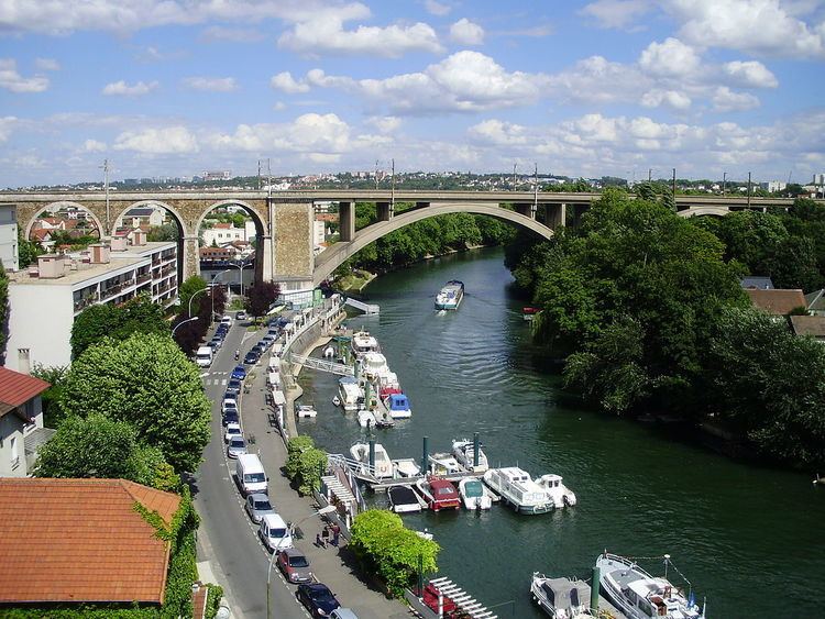
Le Perreux-sur-Marne is a commune in the Val-de-Marne department in the eastern suburbs of Paris, France. It is located 11.7 km (7.3 mi) from the center of Paris.
Contents
Map of Le Perreux-sur-Marne, France
History
The commune of Le Perreux-sur-Marne was created on 28 February 1887 by detaching its territory from the commune of Nogent-sur-Marne.
Education
As of 2016 the municipal preschools had a total of 1,171 students and the municipal elementary schools had a total of 1,839 students.
Public preschools:
Public elementary schools:
There are two public junior high schools, Collège Pierre Brossolette and Collège de Lattre, as well as one public senior high school/sixth-form college: Lycée Polyvalent Paul Doumer.
Private schools:
Transport
Le Perreux-sur-Marne is served by Nogent – Le Perreux station on Paris RER line E2 on the southwest side of the city and Neuilly-Plaisance station on the RER line A4 on the northeast side of the city.