
Area 6.84 km² Local time Tuesday 5:39 AM | Region Normandy Canton Duclair Time zone CET (UTC+1) Population 552 (1999) | |
 | ||
Weather 3°C, Wind SW at 5 km/h, 96% Humidity | ||
Le Mesnil-sous-Jumièges is a commune in the Seine-Maritime department in the Haute-Normandie region in northern France.
Contents
Map of 76480 Le Mesnil-sous-Jumi%C3%A8ges, France
Geography
A farming village, situated in the Roumois and inside a meander of the river Seine, some 12 miles (19 km) west of Rouen on the D65 road. A ferry boat carries cars and passengers across the river to Yville-sur-Seine.
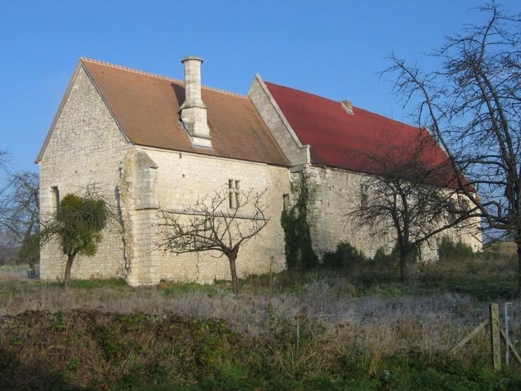
Places of interest
References
Le Mesnil-sous-Jumièges Wikipedia(Text) CC BY-SA