Intercommunality CREA Local time Tuesday 4:59 AM | Region Normandy Area 2.97 km² | |
 | ||
Weather 4°C, Wind SW at 6 km/h, 96% Humidity | ||
Le Houlme is a commune in the Seine-Maritime department in the Haute-Normandie region in northern France.
Contents
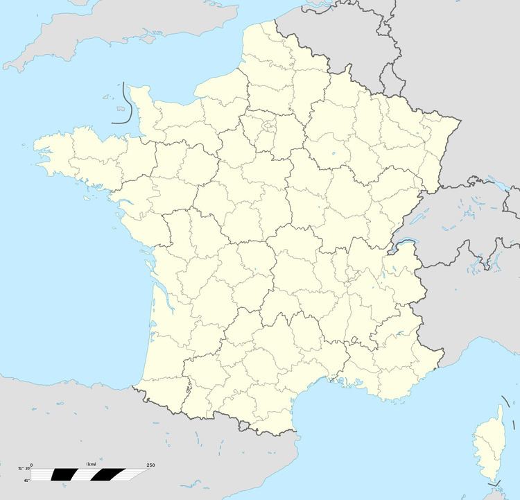
Map of 76770 Le Houlme, France
Geography
A small light industrial and farming town situated by the banks of the Cailly River, some 7 miles (11 km) northwest of the centre of Rouen at the junction of the D51, D90 and the D927 roads. SNCF operates a TER service here. The town is located in a place where the Cailly River's valley is beginning to narrow. Thus, the town extends from the Cailly River's valley to the beginning of the plateau of Normandy, with some housings located on the cliffs leading to the plateau itself.
Places of interest
References
Le Houlme Wikipedia(Text) CC BY-SA
