Intercommunality Bénévent-Grand-Bourg Area 78.91 km² | Canton Grand-Bourg Population (2008) 1,196 Local time Tuesday 4:49 AM | |
 | ||
Weather 5°C, Wind NE at 8 km/h, 94% Humidity | ||
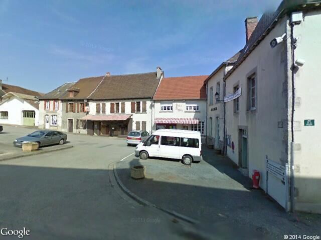
Le Grand-Bourg is a commune in the Creuse department in the Nouvelle-Aquitaine region in central France.
Contents
Map of 23240 Le Grand-Bourg, France
Geography
An area of farming and forestry comprising the village and a few small hamlets situated some 12 miles (19 km) west of Guéret at the junction of the D4, D52 and the D912 road, the pilgrimage route known as St James's Way. The Gartempe River flows through the middle of the commune’s territory.
Sights
References
Le Grand-Bourg Wikipedia(Text) CC BY-SA
