
Area 16.54 km² | Intercommunality Auzances-Bellegarde Local time Tuesday 3:59 AM | |
 | ||
Weather 3°C, Wind E at 5 km/h, 85% Humidity | ||
Le Compas is a commune in the Creuse department in the Nouvelle-Aquitaine region in central France.
Contents
Map of 23700 Le Compas, France
Geography
A farming area comprising a small village and several hamlets, situated in the valley of the river Jarasse, some 15 miles (24 km) east of Aubusson, near the junction of the D25, D276 and the D996 roads and also on the D998.
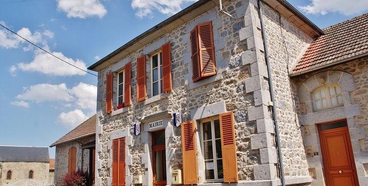
Sights
References
Le Compas Wikipedia(Text) CC BY-SA