
Population (2008) 1,140 Area 32.8 km² | Canton Le Châtelet Time zone CET (UTC+1) Local time Tuesday 3:53 AM | |
 | ||
Weather 5°C, Wind NE at 5 km/h, 92% Humidity | ||
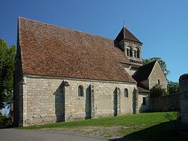
Le Châtelet is a commune in the Cher department in the Centre region of France.
Contents
Map of 18170 Le Ch%C3%A2telet, France
Geography
A farming area comprising a small town and a few hamlets situated by the banks of the small river Portefeuille, some 29 miles (47 km) south of Bourges, at the junction of the D 951, D 3 and the D 65 roads.
Sights
References
Le Châtelet Wikipedia(Text) CC BY-SA