
Canton Aumale Area 16.71 km² | Region Normandy Local time Tuesday 3:35 AM | |
 | ||
Weather 4°C, Wind SW at 8 km/h, 92% Humidity | ||
Le Caule-Sainte-Beuve is a commune in the Seine-Maritime department in the Haute-Normandie region in northern France.
Contents
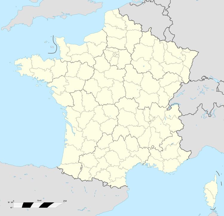
Map of 76390 Le Caule-Sainte-Beuve, France
Geography
A farming and forestry village, situated in the Pays de Bray, some 33 miles (53 km) southeast of Dieppe at the junction of the D7 and the D16 roads.
Places of interest
References
Le Caule-Sainte-Beuve Wikipedia(Text) CC BY-SA