Supriya Ghosh (Editor)

Layon

Updated on
Edit
Like
Comment
Share on FacebookTweet on TwitterShare on LinkedInShare on Reddit
River mouth
  
Loire 12 m (39 ft)

Basin size
  
950 km (370 sq mi)

Country
  
France

Progression
  
Loire→ Atlantic Ocean

Length
  
90 km

Layon httpsuploadwikimediaorgwikipediacommonsthu

Main source
  
Saint-Maurice-la-Fougereuse 105 m (344 ft)

Discharge
  
Average rate: 4.05 m/s (143 cu ft/s)

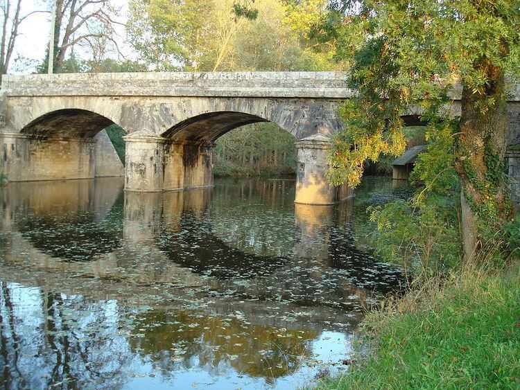
The Layon (French: le Layon) is a 90.2 km (56.0 mi) long river in the Deux-Sèvres and Maine-et-Loire départements, western France. Its source is near Saint-Maurice-la-Fougereuse. It flows generally northwest. It is a left tributary of the Loire into which it flows near Chalonnes-sur-Loire.

Contents

Map of Le Layon, France

Départements and communes along its course

This list is ordered from source to mouth:

  • Deux-Sèvres: Saint-Maurice-la-Fougereuse, Genneton
  • Maine-et-Loire: Cléré-sur-Layon, Passavant-sur-Layon, Nueil-sur-Layon, Les Verchers-sur-Layon, Concourson-sur-Layon, Saint-Georges-sur-Layon, Brigné, Martigné-Briand, Tigné, Aubigné-sur-Layon, Faveraye-Mâchelles, Thouarcé, Faye-d'Anjou, Champ-sur-Layon, Rablay-sur-Layon, Chanzeaux, Beaulieu-sur-Layon, Saint-Lambert-du-Lattay, Rochefort-sur-Loire, Saint-Aubin-de-Luigné, Chaudefonds-sur-Layon, Chalonnes-sur-Loire
  • References

    Layon Wikipedia