Country Ukraine Established 1291 Time zone EET (UTC+2) Area 3.42 km² Postal code 82076 | District Staryi Sambir Raion Elevation/(average value of) 507 m (1,663 ft) Area code +380 3238 Local time Monday 9:27 PM Province Lviv Oblast | |
 | ||
Weather 2°C, Wind NW at 6 km/h, 88% Humidity | ||
Lavriv (Ukrainian: Лаврі́в) is a small village in Staryi Sambir Raion (district), Lviv Oblast (province) of Ukraine.
The population of the village is just about 461 people, and local government is administered by Velykolinynska village council.
Contents
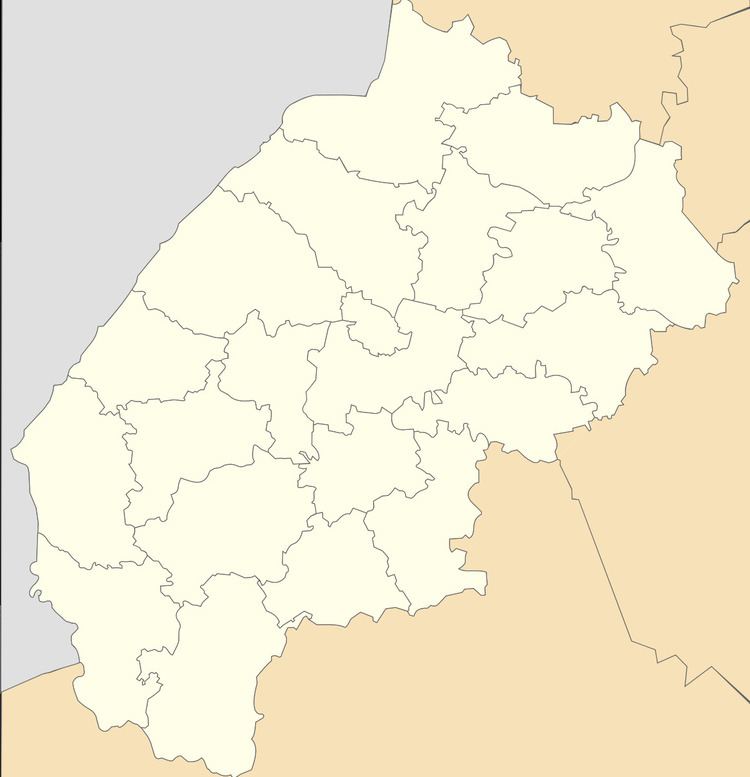
Map of Lavriv, Lvivska, Ukraine
Geography
The village is located in the foothills of the Carpathians terrain of the Staryi Sambir Raion. The nearest railway station is in the village Tershiv (9 kilometres (5.6 mi)). The village is located near the road Highway H13 (Ukraine) (H13) from Lviv – Sambir to Uzhhorod. Distance from the regional center Lviv is 106 kilometres (66 mi) , 14 kilometres (8.7 mi) from the district center Staryi Sambir, and 205 kilometres (127 mi) from Uzhhorod.
History and Attractions
The first record of the village dates back to 1291 year. According to legend, in the village was buried Knyaz Leo I of Galicia (ca. 1228 – ca. 1301) became in turn Knyaz of Belz (1245–1264), Knyaz of Peremyshl, Knyaz of Halych (1264–1269) and Grand Prince of Kiev (1271–1301).
Lavriv Svyatoonufriyivskyy monastery was founded in the middle of the 13th century in the village of Lavriv.
