
Time zone BRT/BRST (UTC-3/-2) | Elevation 508 m (1,667 ft) Local time Monday 4:26 PM | |
 | ||
Metrop. region Vale do Paraíba e Litoral Norte Weather 23°C, Wind S at 14 km/h, 90% Humidity | ||
Lavrinhas is a municipality in the state of São Paulo in Brazil.
Contents
Map of Lavrinhas - State of S%C3%A3o Paulo, Brazil
Location
Lavrinhas is part of the Metropolitan Region of Vale do Paraíba e Litoral Norte. The population is 7,052 (2015 est.) in an area of 167.07 km². The elevation is 508 m (1,667 ft). The state of Minas Gerais is bounded to the north.
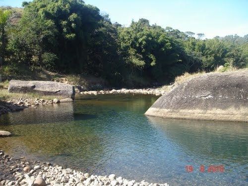
The municipality contains part of the 292,000 hectares (720,000 acres) Mananciais do Rio Paraíba do Sul Environmental Protection Area, created in 1982 to protect the sources of the Paraíba do Sul river.
Coat of arms
Its coat of arms has a red shield with the tag at the bottom reading Cave nam Viglio with two soldiers on each side and with three swords over three mountaintops coloured in orange.
Flag
Its flag colors are white on the left side and yellow on the right side with its coat of arms of the left. The line is not straight.