
Population 91 (2011 census) LGA(s) City of Wyndham Laverton North Altona North Postal code 3026 | Postcode(s) 3026 State electorate(s) Tarneit Area 15 km² | |
 | ||
Location 18 km (11 mi) from Melbourne Federal divisions Division of Gellibrand, Division of Lalor | ||
Laverton North is a rural-urban fringe suburb of Melbourne, Victoria, Australia, 18 km west of Melbourne's central business district. Its local government area is the City of Wyndham. At the 2011 Census, Laverton North had a population of 91.
Contents
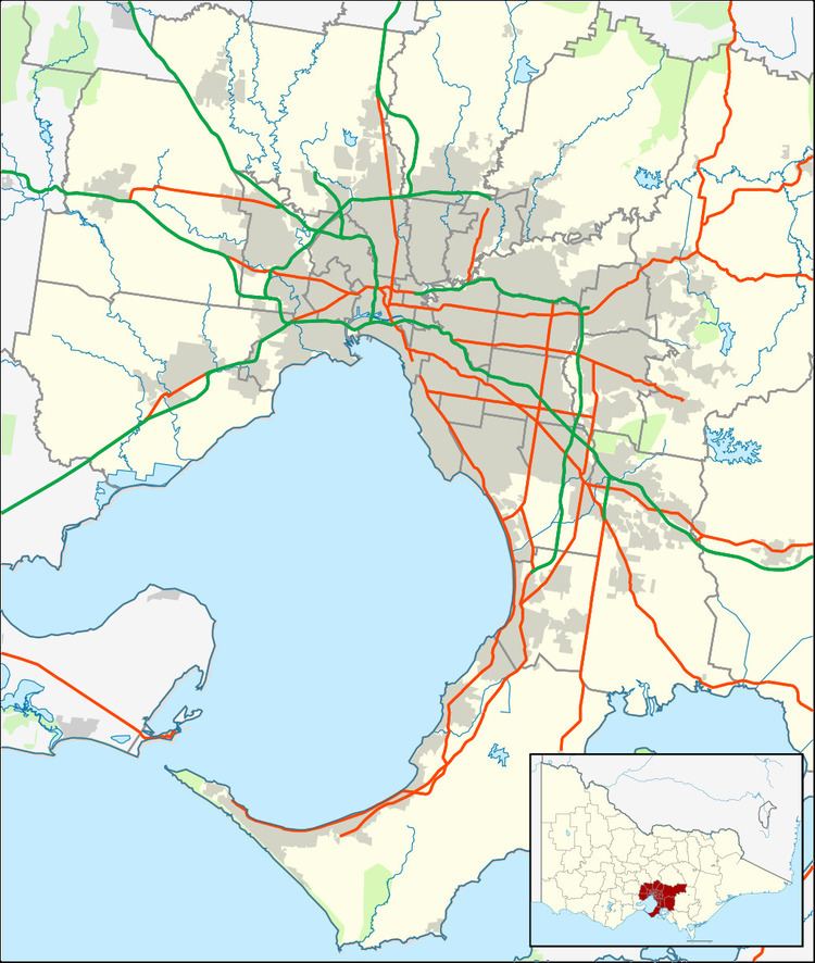
Map of Laverton North VIC 3026, Australia
Bounded by Boundary Road to the north, Derrimut Road and the Federation Trail to the west, Old Geelong Road and the West Gate Freeway to the south and Kororoit Creek to the east, it is predominantly an industrial suburb.
Demographics
In the 2011 census, 69.23% were born in Australia, 9.89% New Zealand, 4.4% Malta, 3.3% United Kingdom and 13.18% in other countries.
50.55% claimed Christianity, 30.77% claimed other or no religion, 3.3% Buddhism and 3.3% claimed Hinduism.
References
Laverton North, Victoria Wikipedia(Text) CC BY-SA