
District Westerwaldkreis Time zone CET/CEST (UTC+1/+2) Population 386 (31 Dec 2008) Postal code 56472 | Elevation 501 m (1,644 ft) Area 4.28 km² Local time Monday 6:42 PM Dialling code 02661 | |
 | ||
Municipal assoc. Bad Marienberg (Westerwald) Weather 9°C, Wind W at 11 km/h, 58% Humidity | ||
Lautzenbr cken von oben 2
Lautzenbrücken is an Ortsgemeinde – a community belonging to a Verbandsgemeinde – in the Westerwaldkreis in Rhineland-Palatinate, Germany.
Contents
- Lautzenbr cken von oben 2
- Map of LautzenbrC3BCcken Germany
- Scottish fold in lautzenbr cken
- Location
- Constituent communities
- History
- Community council
- Transport
- References
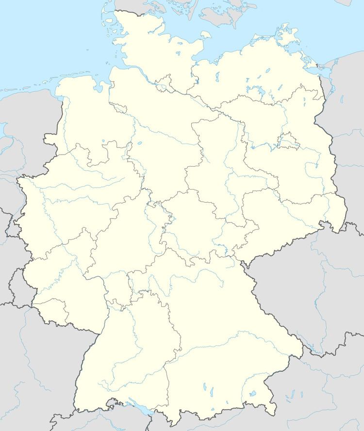
Map of Lautzenbr%C3%BCcken, Germany
Scottish fold in lautzenbr cken
Location
The community lies in the Westerwald between Limburg and Siegen on the boundary with North Rhine-Westphalia. Lautzenbrücken belongs to the Verbandsgemeinde of Bad Marienberg, a kind of collective municipality. Its seat is in the like-named town.
Constituent communities
Lautzenbrücken has two outlying centres named Hohensayn und Eisenkaute.
History
In 1262, Lautzenbrücken had its first documentary mention as Luytzebrucke.
Community council
The council is made up of 8 council members who were elected in a majority vote in a municipal election on 13 June 2004.
Transport
South of the community runs Bundesstraße 414, leading from Driedorf-Hohenroth to Hachenburg. The nearest Autobahn interchanges are in Siegen and Wilnsdorf on the A 45 (Dortmund–Hanau), some 20 km away. The nearest InterCityExpress stop is the railway station at Montabaur on the Cologne-Frankfurt high-speed rail line.