
Country Germany Admin. region Gießen Elevation 477 m (1,565 ft) Area 30.34 km² Local time Monday 6:34 PM Administrative region Upper Franconia | State Hesse District Vogelsbergkreis Time zone CET/CEST (UTC+1/+2) Population 4,107 (31 Dec 2008) Postal code 96486 | |
 | ||
Weather 7°C, Wind W at 6 km/h, 55% Humidity | ||
Lautertal is a community in the Vogelsbergkreis in Hesse, Germany.
Contents
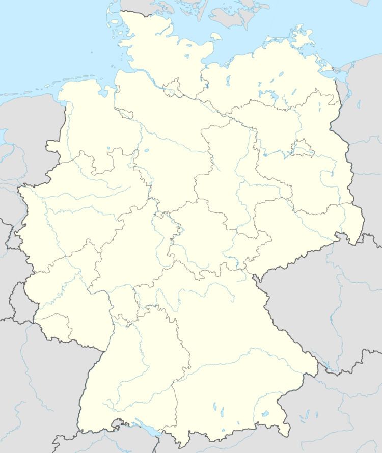
- Map of 96486 Lautertal Germany
- Location
- Neighbouring communities
- Constituent communities
- Municipal council
- References
Map of 96486 Lautertal, Germany
Location
Lautertal lies from 400 to 700 m above sea level in the High Vogelsberg Nature Park (Naturpark Hoher Vogelsberg).
Neighbouring communities
Lautertal borders in the north on the community of Schwalmtal, in the east on the town of Lauterbach, in the south on the town of Herbstein, and in the west on the town of Ulrichstein and the community of Feldatal.
Constituent communities
The community of Lautertal consists of seven centres:
Municipal council
As of municipal elections held on 26 March 2006 the seats are apportioned thus:
References
Lautertal Wikipedia(Text) CC BY-SA