
District Bautzen Time zone CET/CEST (UTC+1/+2) Area 41.87 km² Population 9,528 (31 Dec 2008) Dialling code 035722 | Elevation 123 m (404 ft) Postal codes 02991 Local time Monday 6:24 PM Postal code 02991 | |
 | ||
Weather 7°C, Wind E at 6 km/h, 58% Humidity | ||
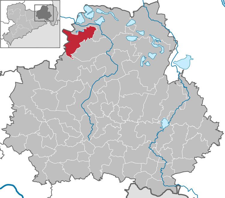
Lauta (Sorbian: Łuty) is a town in the district of Bautzen, in the Free State of Saxony, Germany. It is situated 10 km west of Hoyerswerda, and 10 km southeast of Senftenberg.
Contents
- Map of Lauta Germany
- History
- Personalities who worked in Lauta
- Personalities who lived temporarily in Lauta
- References
Map of Lauta, Germany
History
Within the Prussian Province of Brandenburg, Lauta was part of Landkreis Calau. Within the East German Bezirk Cottbus, it was part of Kreis Hoyerswerda. With German reunification in 1990, it became part of Saxony.
Personalities who worked in Lauta
Personalities who lived temporarily in Lauta
References
Lauta Wikipedia(Text) CC BY-SA