
Time zone EST (UTC−5) Website www.laurierville.net Population 1,454 (2011) Province Québec | Constituted November 26, 1997 Postal code(s) G0S 1P0 Area 108.8 km² Local time Monday 1:00 PM Area code 819 | |
 | ||
Highways Route 116 Route 218 Route 267 Weather -12°C, Wind SW at 19 km/h, 53% Humidity RCMs Centre-du-Québec, L'Érable Regional County Municipality | ||
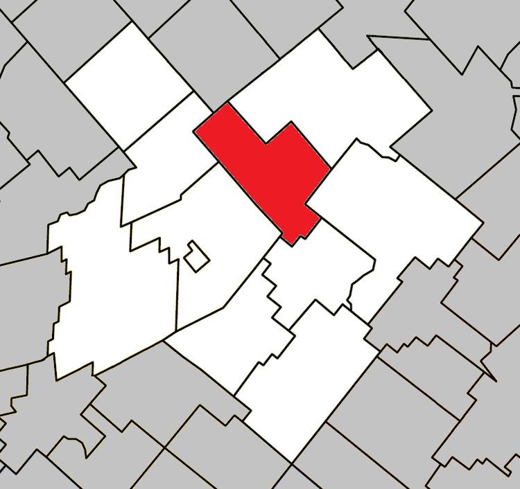
Laurierville is a municipality in the Centre-du-Québec region of the province of Quebec in Canada.
Map of Laurierville, QC, Canada
It was constituted on November 26, 1997 by the amalgamation of the village municipality of Laurierville and the municipality of Sainte-Julie (the latter not to be confused with a different, modern-day Sainte-Julie in Montérégie). Laurierville contains the new storage warehouse of the Federation of Maple Sugar Producers of Quebec.
References
Laurierville, Quebec Wikipedia(Text) CC BY-SA