
Population under 100 Sovereign state United Kingdom Local time Monday 10:57 AM UK parliament constituency Northavon | OS grid reference ST666847 Post town Bristol Dialling code 01454 | |
 | ||
Weather 10°C, Wind W at 16 km/h, 74% Humidity | ||
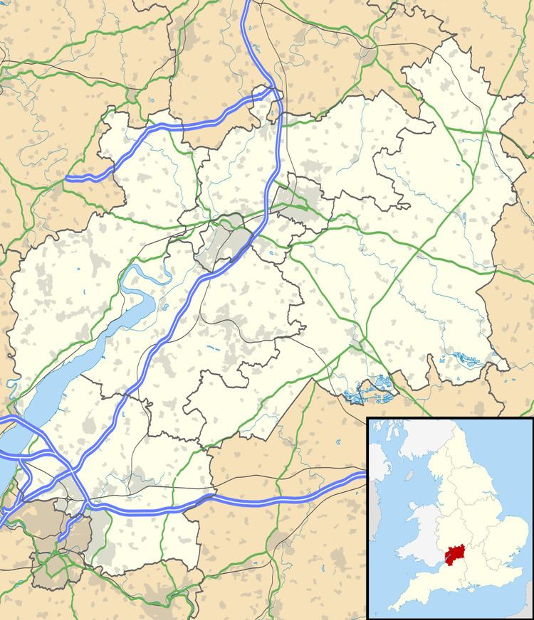
Latteridge is a hamlet in South Gloucestershire, England. It lies on the B4059 road north of Iron Acton, and south of Rudgeway and Earthcott. The hamlet is divided by the busy B4059, there is a large village green, a railway crossing, a large duck pond and a ruined church.
Map of Latteridge, Bristol, UK
References
Latteridge Wikipedia(Text) CC BY-SA