
Population 73,548 (2015 est) Gazetted 2 December 1994 Mayor Cr Sharon Gibson Local time Monday 9:39 PM | Established 1994 Area 1,426 km (550.6 sq mi) Region Eastern Victoria Council seat Morwell | |
 | ||
Weather 19°C, Wind E at 13 km/h, 79% Humidity Points of interest Old Gippstown, Edward Hunter Heritage, Morwell National Park, Lake Narracan, Morwell River Falls Reserve | ||
Tourism in latrobe city
The Latrobe City is a local government area in the Gippsland region in eastern Victoria, Australia, located in the eastern part of the state. It covers an area of 1,426 square kilometres (551 sq mi) and, at the 2011 Census, had a population of 72,396. It is primarily urban with the vast majority of its population living within three major urban areas, which are Moe, Morwell and Traralgon, while other significant settlements within the LGA include Boolarra, Callignee, Churchill, Glengarry, Jeeralang, Newborough, Toongabbie, Tyers, Yallourn North and Yinnar. It was formed in 1994 from the amalgamation of the City of Moe, City of Morwell, City of Traralgon, Shire of Traralgon, and parts of the Shire of Narracan and Shire of Rosedale. When formed the municipality was originally called the Shire of La Trobe, but on 6 April 2000, was renamed to its current name.
Contents
- Tourism in latrobe city
- Map of Latrobe VIC Australia
- Industry and economy
- Current composition
- Administration and governance
- References
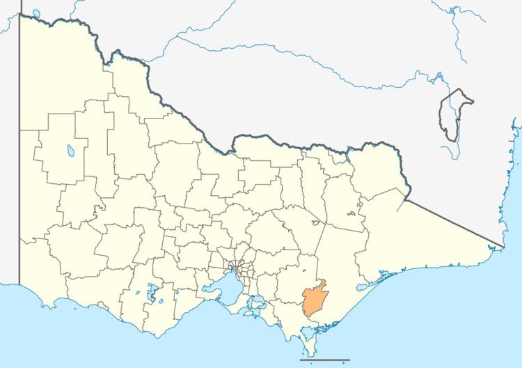
Map of Latrobe, VIC, Australia
The City is governed and administered by the Latrobe City Council; its seat of local government and administrative centre is located at the council headquarters, 141 Commercial Road, Morwell, it also has service centres located in Moe and Traralgon. The City is named after the Latrobe River and Latrobe Valley, major geographical features that meander through the north of the LGA.
The LGA has three Main towns —Moe, Morwell and Traralgon in the Latrobe Valley—which form the same statistical area and accounts for most of the City's population and as such, the LGA is primarily an urban area with many of the smaller settlements forming suburban areas separated by areas of secondary industry, although there are large tracts of crown and rural land to the north and south.
Industry and economy
The City has traditionally been recognised as the centre of Victoria's electricity industry, which is derived from one of the largest brown coal reserves in the world. It also the centre of a large forestry industry which services Australian Paper's pulp and paper mill (the largest in Australia) and other sawmills. Other industries in the area include food processing (Lion Foods – Morwell), engineering, post secondary education (Federation University Gippsland)and the service sector. Being the largest population centre in the Gippsland region, Latrobe acts as the regional headquarters for Government agencies and private operators including banks and insurance companies.
Latrobe is also close to popular tourist attractions including the Baw Baw and Tarra-Bulga National Parks and is the natural service centre to the historic gold mining town of Walhalla.
The power generators include:
The former EnergyBrix power station and briquette manufacturing facility closed in 2014.
Current composition
The council is composed of four wards and nine councillors, with four councillors elected to represent the East Ward, two councillors per ward elected to represent each of the Central and West wards, and one councillor elected to represent the South Ward.
Administration and governance
The council meets in the council chambers at the council headquarters in the Morwell Municipal Offices, which is also the location of the council's administrative activities. It also provides customer services at both its administrative centre in Morwell, and its service centres in Moe and Traralgon.