Elevation 10 m Local time Monday 12:45 AM | Time zone CET (UTC+01:00) Area 48 ha Population 609 (2013) | |
 | ||
Weather 7°C, Wind S at 19 km/h, 55% Humidity | ||
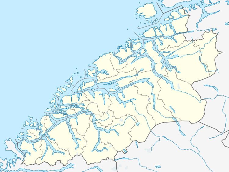
Larsnes is the administrative centre of the municipality of Sande in Møre og Romsdal county, Norway. It is located on the southwest side of the island of Gurskøya, about 8 kilometres (5.0 mi) east of the island of Kvamsøya, 8 kilometres (5.0 mi) southwest of the village of Gursken, and about 25 kilometres (16 mi) southwest of the town of Ulsteinvik.
Contents
Map of 6084 Larsnes, Norway
The 0.48-square-kilometre (120-acre) village has a population (2013) of 609, giving the village a population density of 1,269 inhabitants per square kilometre (3,290/sq mi). The village is home to manufacturing industry, fish processing, fish farming, and cement production. Larsnes Chapel is located in this village.
Historically, Larsnes was part of the short-lived municipality of Rovde from 1905-1964.
