
Intercommunality Albères Area 20.51 km² | Region Occitanie Canton Argelès-sur-Mer Population (2006) 1,976 Local time Sunday 11:22 PM | |
 | ||
Weather 13°C, Wind NW at 39 km/h, 60% Humidity | ||
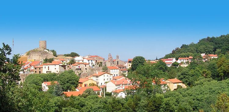
Laroque-des-Albères (Catalan: La Roca d'Albera) is a commune in the Pyrénées-Orientales department in southern France.
Contents
Map of 66740 Laroque-des-Alb%C3%A8res, France
It is part of the Occitanie region. The town is in the foothills of the Pyrénées mountains.
Localisation
Laroque-des-Albères is located in the canton of Argelès-sur-Mer and in the arrondissement of Céret.
Sites of interest
References
Laroque-des-Albères Wikipedia(Text) CC BY-SA