
 | ||
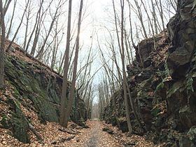
Larkin State Park Trail is a Connecticut rail trail that follows the former New York & New England Railroad roadbed across the towns of Southbury, Oxford, Middlebury, and Naugatuck. The trail is 10.3 miles (16.6 km) long; its eastern terminus is at Whittemore Glen State Park, the western at Kettletown Road in Southbury. The trail is open for hiking, biking, horseback riding, and cross-country skiing.
Contents
Map of Larkin State Park Trail, Connecticut, USA
History
The rail line was in operation from 1881 until 1939. Four years after the line's abandonment, Dr. Charles L. Larkin bought a ten-mile section that he donated to the state for the purpose of creating an equestrian trail. The park was named in his honor.
References
Larkin State Park Trail Wikipedia(Text) CC BY-SA