
Country United States Time zone Eastern (EST) (UTC-5) Elevation 167 m | State Indiana ZIP code 47885 Local time Sunday 5:39 PM | |
 | ||
Weather 4°C, Wind E at 10 km/h, 31% Humidity | ||
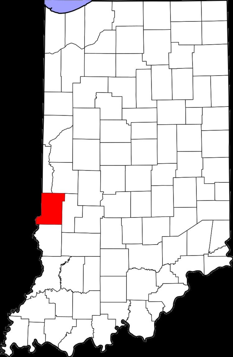
Larimer Hill is an unincorporated community in Sugar Creek Township, Vigo County, in the U.S. state of Indiana.
Contents
Map of Larimer Hill, IN 47885, USA
It is part of the Terre Haute metropolitan area.
Geography
Larimer Hill is located at 39°27′20″N 87°28′19″W at an elevation of 548 feet.
References
Larimer Hill, Indiana Wikipedia(Text) CC BY-SA