Postcode(s) 7325 Myalla Sisters Creek Milabena Lapoinya Local time Monday 6:10 AM | Sisters Creek Moorleah Postal code 7325 | |
 | ||
Weather 14°C, Wind S at 11 km/h, 83% Humidity | ||
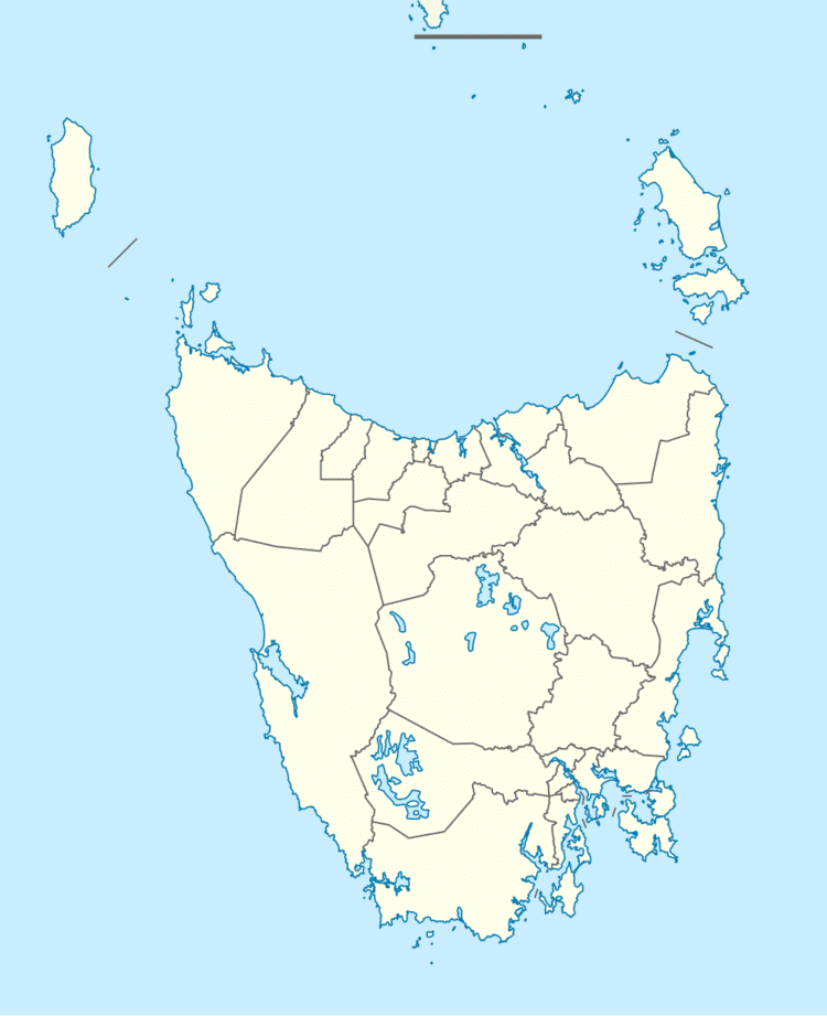
Lapoinya (pronounced La-poin-ya) is a small agricultural centre on the north-west coast of Tasmania west of Wynyard. The name is Tasmanian aboriginal word for "fern tree", a plant that abounds in those surviving untouched parts of the original temperate rainforest. At the 2006 census, Lapoinya had a population of 368.
Contents
Map of Lapoinya TAS 7325, Australia
History
First developed commercially around 1900 it has been a centre for forestry, mixed agriculture (especially potato-growing and grazing (mostly dairy cattle). In November 2014 it was announced the town was fighting Forestry Tasmania to attempt to stop the company logging the towns surrounding forest.
Lapoinya Post Office opened on 1 November 1912 and closed in 1970.
References
Lapoinya Wikipedia(Text) CC BY-SA
