
Country Italy Demonym(s) Civitani Local time Sunday 6:14 PM Dialling code 06 | Region Latium Elevation 324 m (1,063 ft) Area 43.9 km² Postal code 00040 | |
 | ||
Frazioni Campoleone, Bellavista, Colle Cavaliere, Casale della Corte, Malcavallo, Mantovano, Monte Giove, Pascolare, Pietrara, Sambuco, Stragonello Weather 11°C, Wind S at 11 km/h, 71% Humidity Points of interest Appian Way, Museo civico lanuvino, Fontana Degli Scogli | ||
Lanuvio is a comune (municipality) in the Metropolitan City of Rome in the Italian region Latium, located about 30 kilometres (19 mi) southeast of Rome, on the Alban Hills.
Contents
Map of 00040 Lanuvio Rome, Italy
Lanuvio borders the following municipalities: Aprilia, Ariccia, Genzano di Roma, Velletri.
History
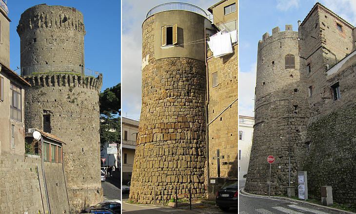
In ancient times Lanuvium was an important town in the nearby of Rome. The emperors Antoninus Pius and Commodus were born here, together with the condottiero Marcantonio Colonna. It decayed after the reign of Theodosius I (late 4th century AD), and was mostly abandoned due to the shutting down of its polytheistic sanctuaries.
It is mentioned again in the 11th century, when it was a seat of a Benedictine monastery. In the early 15th century it was acquired by the Colonna family, to whom it belonged until 1564.
On 17 February 1944, during World War II, it was bombed by sea and air by the Allied, and almost entirely destroyed.