
Country Canada Constituted December 6, 2000 Postal code(s) J0K 1E0 Area 115.4 km² Local time Sunday 12:15 PM | Settled 1732 Time zone EST (UTC−5) Area code(s) 450 and 579 Population 4,447 (2011) Province Québec | |
 | ||
Weather -13°C, Wind W at 18 km/h, 50% Humidity RCMs Lanaudière, D'Autray Regional County Municipality Points of interest Vignoble Aux Pieds des Noyers, Vignoble CARONE Wines, Vignoble Lano d’Or | ||
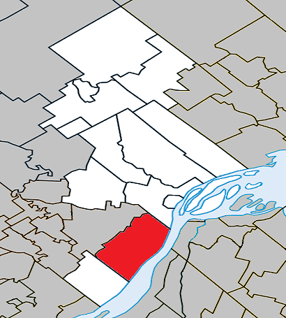
Lanoraie is a town in the Lanaudière region of Quebec, Canada, part of the D'Autray Regional County Municipality.
Contents
Map of Lanoraie, QC, Canada
History
When Jacques Cartier passed through in the 16th century, the Iroquois had already established themselves in the area, calling it Agochanda or Agouchonda, meaning "place where one stops to eat and rest". It was also in this area in 1642 that Isaac Jogues was abducted by the Mohawks along with Guillaume Couture and René Goupil, and taken into captivity and tortured.
In 1672, the Intendant of New France Jean Talon granted the territory as a seignory to Louis de Niort de La Noraye (1639-1708). In 1688, the Seignory of La Noraye (also spelled as: Lanauraie, Lanoraie, Noraye) was united with the Autray Seignory, granted in 1637 to Jean Bourdon who passed it on to his son Jacques Bourdon d'Autray in 1653.
Although the Parish of Saint-Joseph-de-Lanoraie was founded in 1732, it did not really begin to develop until 1831. In 1845, this parish was incorporated as the Parish Municipality of Lanoraie, but abolished two years later in 1847, when it became part of the Berthier County Municipality. In 1855, it was reestablished as the Parish Municipality of Saint-Joseph-de-Lanoraie. In 1848, the Municipality of Lanoraie-d'Autray was formed.
On December 6, 2000, the Parish Municipality of Saint-Joseph-de-Lanoraie and the Municipality of Lanoraie-d'Autray were merged to form the new Municipality of Lanoraie.
Demographics
Population trend:
Private dwellings occupied by usual residents: 1837 (total dwellings: 1941)
Mother tongue: