
Population 1,003 (2006 census) | Postcode(s) 3911 Postal code 3911 | |
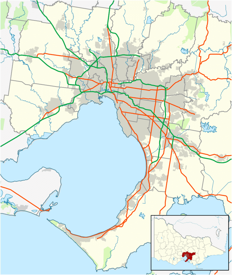 | ||
Langwarrin South is an official bounded locality in Melbourne, Victoria, Australia, 47 km south-east from Melbourne's central business district. Its local government area is the City of Frankston. At the 2006 Census, Langwarrin South had a population of 1003.
Map of Langwarrin South VIC 3911, Australia
Langwarrin South is bounded in the north by Robinsons Road, in the east by Dandenong-Hastings Road, in the south by Golf Links and Baxter-Tooradin Roads and in the west by the route of the proposed extension of the Mornington Peninsula Freeway.
References
Langwarrin South, Victoria Wikipedia(Text) CC BY-SA