
Max. width 2 km (1.2 mi) Max. depth 75 m (246 ft) Area 26 km² Width 2 km | Max. length 20 km (12 mi) Surface area 26 km (10 sq mi) Surface elevation 670 m Length 20 km | |
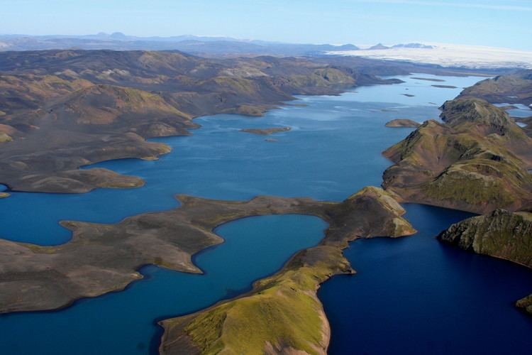 | ||
Langisjór is a lake in the Highlands of Iceland. It is around 20 km in length and up to 2 km wide, with a total surface area of about 26 km2 (10 sq mi) and a depth of 75m at its deepest point.
Map of Langisj%C3%B3r, Iceland
The lake is situated rather far from civilisation at the south-western border of Vatnajökull at an altitude of 670 m above sea level. Environmental campaigners have expressed concern at government plans to site an industrial dam on the lake.
References
Langisjór Wikipedia(Text) CC BY-SA