
Admin. region Oberfranken Elevation 296 m (971 ft) Area 9.59 km² Population 2,924 (31 Dec 2008) Dialling code 09133 | Time zone CET/CEST (UTC+1/+2) Local time Sunday 1:22 PM Postal code 91094 Administrative region Upper Franconia | |
 | ||
Weather 11°C, Wind E at 14 km/h, 43% Humidity | ||
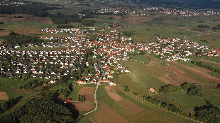
Langensendelbach is a municipality in the district of Forchheim in Bavaria in Germany. There live about 3500 inhabitants the village Bräuningshof is a part of Langensendelbach..
Map of Langensendelbach, Germany
History: Langensendelbach was first named on the July 13th in the year 1062. After this Langensendelbach was a part of the bistum Bamberg. In the year 1400 St. Peter and Paul chapel was built, in the 14/15th century a small gothic church was built. In the year 1896 the priest named Wölfel found an old German bodygrave from the fifth century. In the World War I 22 men from Langensendelbach died. In World War II 88 men had to fight, nineteen of them died in the war or in prison. A few days before the War ended, SS troops were in the village, the US Army attacked them and three children and one man died.