
Elevation 205 m (673 ft) Area 39.65 km² Local time Sunday 1:20 PM | Municipal assoc. Wieratal Time zone CET/CEST (UTC+1/+2) Population 1,989 (31 Dec 2008) Postal code 04618 | |
 | ||
Weather 8°C, Wind SE at 13 km/h, 49% Humidity | ||
Lost places halbes schloss langenleuba niederhain
Langenleuba-Niederhain is a municipality in the district Altenburger Land, in Thuringia, Germany.
Contents
- Lost places halbes schloss langenleuba niederhain
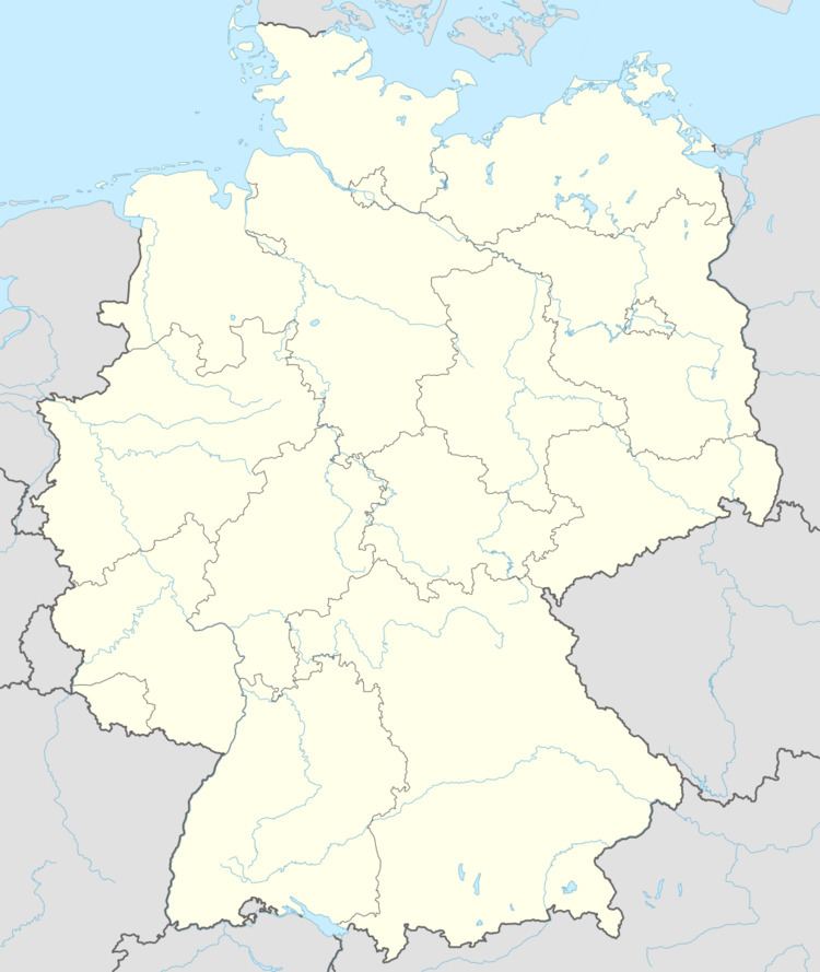
- Map of Langenleuba Niederhain Germany
- History
- References
Map of Langenleuba-Niederhain, Germany
History
Within the German Empire (1871–1918), Langenleuba-Niederhain was part of the Duchy of Saxe-Altenburg.
References
Langenleuba-Niederhain Wikipedia(Text) CC BY-SA