
Country Norway County Nordland Municipality ID NO-1869 Area 103 km² | Region Northern Norway District Vesterålen Time zone CET (UTC+01:00) Local time Sunday 1:18 PM | |
 | ||
Weather 1°C, Wind E at 13 km/h, 79% Humidity | ||
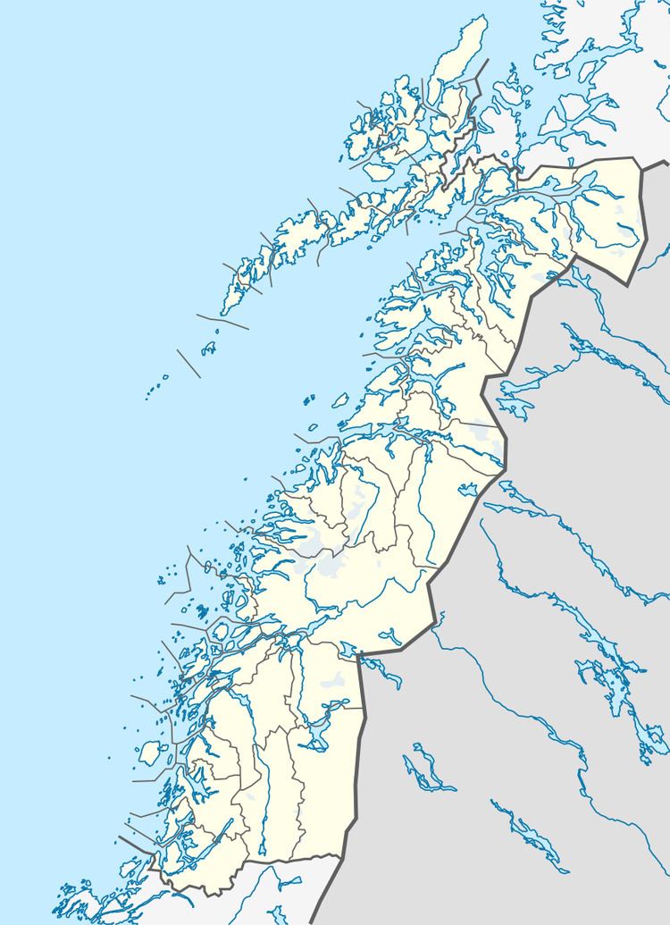
Langenes is a former municipality in Nordland county, Norway. The municipality encompassed the western shore of the Gavlfjorden in the present-day municipality of Øksnes. It is located on the large island of Langøya in the Vesterålen archipelago. The administrative centre was in the village of Stø, just east of the Langenes Church in the northern part of the municipality.
Contents
Map of 8438 Langenes, Norway
History
On 1 July 1919, the northern/eastern part of the municipality of Øksnes was splif off from Øksnes to form the new municipality of Langenes. Initially, Langenes had a population of 1,085. On 1 January 1963, the Holm area along the Gavlfjorden (population: 65) was transferred from Langenes to Sortland municipality. On 1 January 1964, the rest of Langenes (population: 2,037) was merged back together with Øksnes. Prior to the merger, Langenes had 2,037 residents.