
Time zone CET/CEST (UTC+1/+2) Area 121.6 km² Local time Sunday 1:13 PM | Elevation 14 m (46 ft) Postal codes 27607 Population 18,449 (31 Dec 2008) Postal code 27607 Dialling code 04743 | |
 | ||
Weather 10°C, Wind SE at 26 km/h, 55% Humidity | ||
Langen bei Bremerhaven is a town and a former municipality in the district of Cuxhaven, in Lower Saxony, Germany. Since 1 January 2015 it is part of the town Geestland. It is situated approximately 7 km north of the centre of Bremerhaven, and 30 km south of Cuxhaven.
Contents
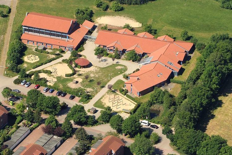
Map of Langen, 27607 Geestland, Germany
History
Langen belonged to the Prince-Archbishopric of Bremen, established in 1180. In 1648 the Prince-Archbishopric was transformed into the Duchy of Bremen, which was first ruled in personal union by the Swedish Crown - interrupted by a Danish occupation (1712–1715) - and from 1715 on by the Hanoverian Crown. The Kingdom of Hanover incorporated the Duchy in a real union and the Ducal territory became part of the new Stade Region, established in 1823.
References
Langen, Cuxhaven Wikipedia(Text) CC BY-SA