
Time zone CET (UTC+1) Area code 0226, 072 Local time Sunday 1:09 PM | Elevation −1 m (−3 ft) Postcode 1720–1724, 1830–1834 Area 26.99 km² | |
 | ||
Website www.gemeentelangedijk.nl Weather 13°C, Wind SE at 18 km/h, 51% Humidity Points of interest Broeker Veiling, Museum "zo Was 't", Geoffrey Donaldson Instituut, Stichting Langedijker Verleden, Regthuis Oudkarspel | ||
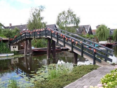
Langedijk pronunciation (West Frisian: Langedìk) is a municipality in the Netherlands, in the province of North Holland and the region of West-Frisia. Langedijk received city rights in 1415.
Contents
Map of Langedijk, Netherlands
Population centres
The municipality of Langedijk consists of the following cities, towns, villages and/or districts: Broek op Langedijk, Koedijk (partly), Noord-Scharwoude, Oudkarspel, Sint Pancras, Zuid-Scharwoude.
Local government
The municipal council of Langedijk consists of 21 seats, which are divided as follows:
References
Langedijk Wikipedia(Text) CC BY-SA