
Population (2006) 1,132 Local time Sunday 10:45 AM | Canton Marquise Area 7.7 km² | |
 | ||
Intercommunality Communauté de communes de la Terre des Deux Caps Weather 10°C, Wind SE at 5 km/h, 75% Humidity | ||
Landrethun-le-Nord is a commune in the Pas-de-Calais department in the Hauts-de-France region of France.
Contents
Map of Landrethun-le-Nord, France
Geography
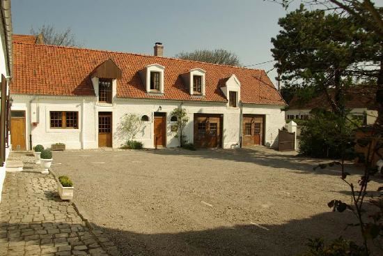
A farming village situated some 13 miles (21 km) northeast of Boulogne, at the junction of the D243 and D231 roads.
History
The area was severely bombed during 1944 as the Germans chose this commune to host the V-3 cannon launch site during World War II.
Places of interest
References
Landrethun-le-Nord Wikipedia(Text) CC BY-SA