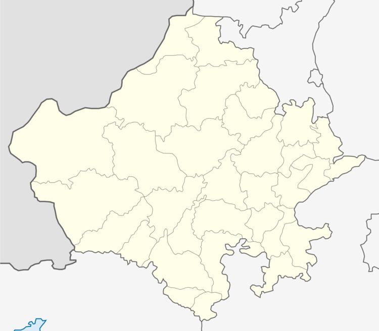
Country India District Nagaur PIN 341510 Elevation 1,086 m ISO 3166 code ISO 3166-2:IN | State Rajasthan Time zone IST (UTC+5:30) Vehicle registration RJ Population 3,791 (2001) | |
 | ||
Weather 17°C, Wind SE at 2 km/h, 26% Humidity | ||
Lampolai is a village in Nagaur District in Rajasthan State in India. It is located on the Ajmer-Merta Road, east of Merta City. It's the centre-point of Rajasthan State.
Contents
Nearby cities and towns
History
As per Hindu mythology one of the five tributaries of river Saraswati (Drishadvati River) flowed through Lampolai.
Lampolai was part of the Marwar Kingdom (now known as Jodhpur in Rajasthan State in India).
References
Lampolai Wikipedia(Text) CC BY-SA
