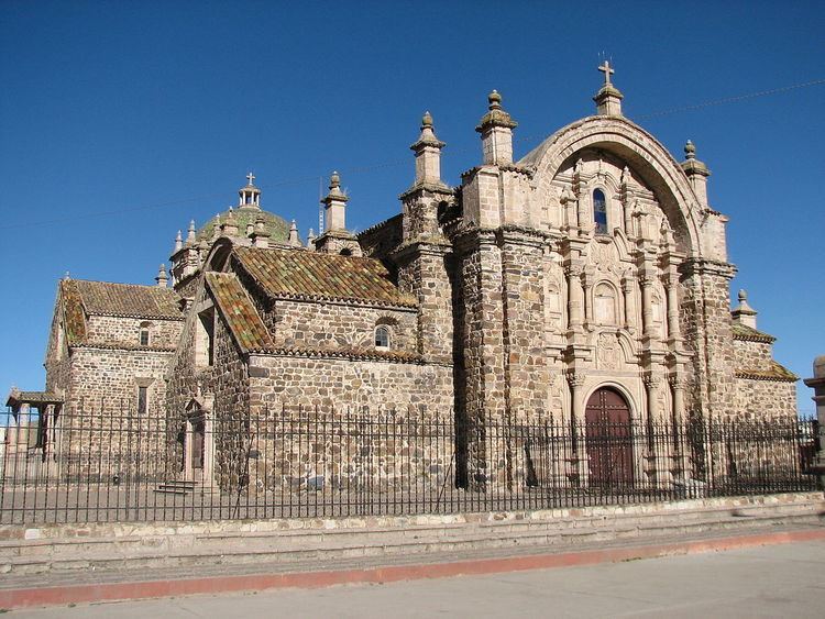
UBIGEO 2107 | Region Puno Elevation 3,892 m (12,769 ft) Website www.munilampa.gob.pe | |
 | ||
Lampa province is a province of the Puno region in Peru. Its population is about 50,000. The capital is Lampa.
Contents
Map of Lampa Province, Peru
Geography
The Sillapaka mountain range traverses the province. Some of the highest mountains of the province are listed below:
Political division
The province has an area of 5,791.73 square kilometers (2,236.20 sq mi) and is split into ten districts.
Ethnic groups
The people in the province are mainly indigenous citizens of Quechua descent. As of 2007, Quechua was the first language of 74.56% of the population; Spanish of 24.84%; and Aymara of 0.37%.
References
Lampa Province Wikipedia(Text) CC BY-SA
