Postal code 6011 | ||
 | ||
North end Featherston Street/Mulgrave Street/Thorndon Quay South end Customhouse Quay/Willeston Street/Willis Street | ||
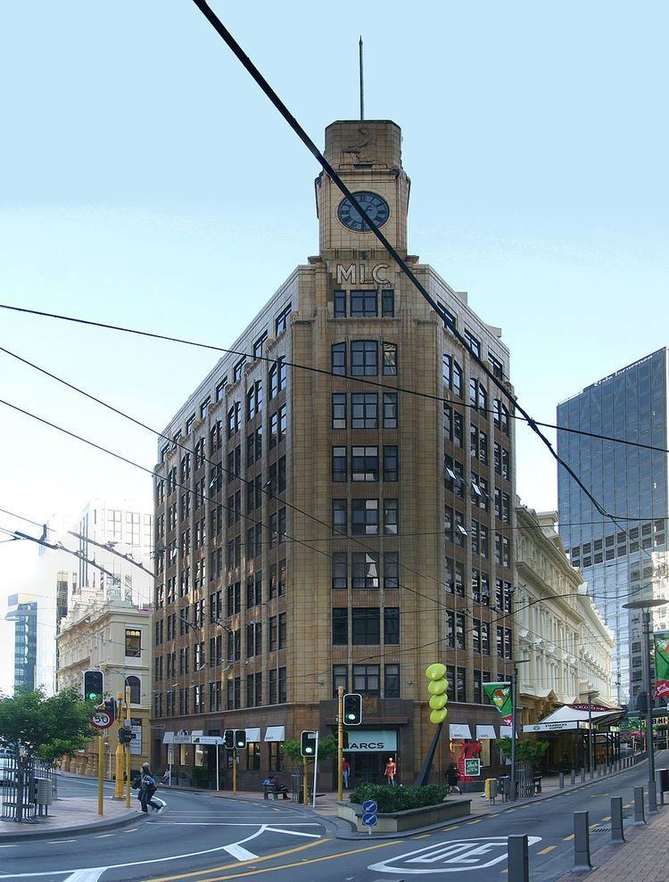
Lambton Quay (once known as "Beach Street") is the heart of the central business district of Wellington, the capital city of New Zealand.
Map of Lambton Quay, Wellington 6011, New Zealand
Originally, as the name implies, it was the high-water line of the foreshore, and sometimes the sea would roll across the road and enter the shops on the opposite side. It was the site of the original settlement in 1840, which grew into Wellington. Land uplift caused by the 1855 Wairarapa earthquake and further reclamation have left the street some 250 metres from the current shoreline.
Lambton Quay is named after John Lambton, 1st Earl of Durham, the first chairman of directors of the New Zealand Company.
Lambton Quay, Willis Street and Courtenay Place form what is known locally as the Golden Mile. Much of the city's retail trade is now centred a little further south around Manners Street and Cuba Street, but Lambton Quay remains a major commercial thoroughfare. It is also of administrative significance, with the New Zealand Parliament Buildings towards the northern end. The Wellington cenotaph is also located at this end, next to Parliament.
The Wellington Cable Car runs from Lambton Quay to the top of the Botanic Garden.
