
Country United States ZIP codes 42155 Elevation 280 m | Time zone Central (CST) (UTC-6) GNIS feature ID 508421 Local time Saturday 6:03 PM | |
 | ||
Weather 2°C, Wind N at 10 km/h, 39% Humidity | ||
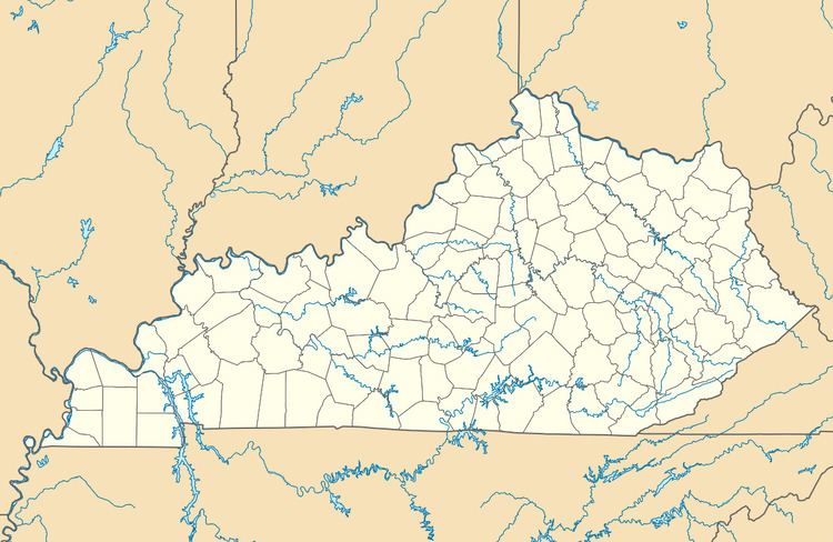
Lamb is an unincorporated community located in Monroe County, Kentucky, United States. Its post office closed in 1994.
Map of Lamb, KY 42167, USA
References
Lamb, Kentucky Wikipedia(Text) CC BY-SA