Country United States County Clinton Time zone Eastern (EST) (UTC-5) Elevation 242 m Population 562 (2010) | State Pennsylvania FIPS code 42-41104 Zip code 16848 | |
 | ||
Area 2.927 km² (2.901 km² Land / 3 ha Water) | ||
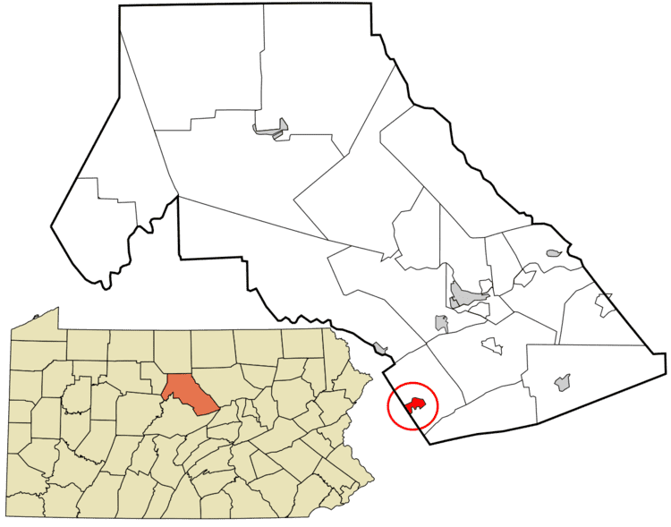
Lamar is a census-designated place located in Porter Township in southern Clinton County, Pennsylvania, United States. As of the 2010 census the population was 562.
Map of Lamar, PA, USA
The community is located along Pennsylvania Route 64 in southern Clinton County and is bordered on the west by Nittany in Walker Township, Centre County. PA 64 leads northeast 1 mile (2 km) to Exit 173 on Interstate 80 and 11 miles (18 km) to Lock Haven, the Clinton County seat, and southwest through Nittany 23 miles (37 km) to State College.
References
Lamar, Pennsylvania Wikipedia(Text) CC BY-SA
