
Country Thailand Time zone THA (UTC+7) Geocode 8605 Population 27,278 (2005) | Seat Lamae Postal code 86170 Area 259 km² Province Chumphon Province | |
 | ||
Lamae (Thai: ละแม, [lā.mɛ̄ː]) is a district (Amphoe) in the southern part of Chumphon Province, southern Thailand.
Contents
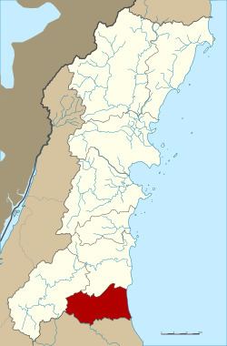
Map of Lamae District, Chumphon, Thailand
Geography
Neighboring districts are (from the south clockwise) Tha Chana of Surat Thani Province, Phato and Lang Suan of Chumphon province. To the east is the Gulf of Thailand.
History
The minor district (King Amphoe) was created on July 1, 1971, when the three tambon Lamae, Thung Luang and Suan Taeng were split off from Lang Suan district. It was upgraded to a full district on April 12, 1977.
Administration
The district is subdivided into 4 subdistricts (tambon), which are further subdivided into 47 villages (muban). Lamae is a township (thesaban tambon) which covers parts of the same-named tambon. There are further four Tambon administrative organizations (TAO).