
Country Thailand Time zone ICT (UTC+7) Geocode 8107 Population 20,069 (2005) | Seat Lam Thap Postal code 81120 Area 320.8 km² Province Krabi Province | |
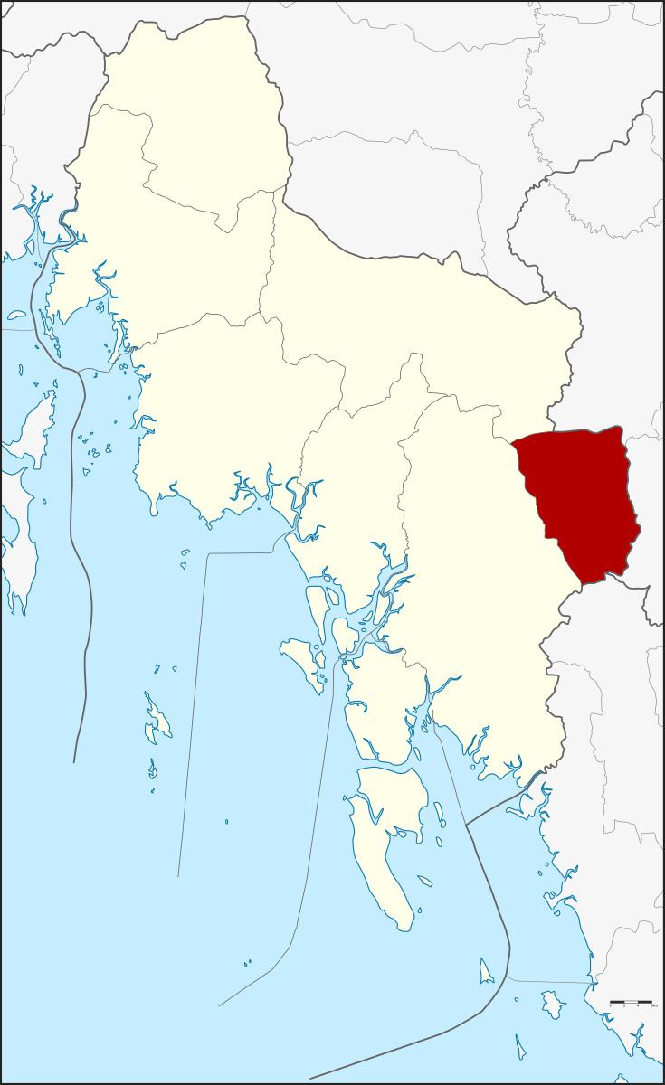 | ||
Lam Thap (Thai: ลำทับ) is a district (amphoe) of Krabi Province, southern Thailand.
Contents
Map of Lam Thap District, Krabi, Thailand
History
The minor district (king amphoe) Lam Thap was established on 30 June 1984, when the two tambon Lam Thap and Din Udom were split off from Khlong Thom district. It was upgraded to a full district on 4 November 1993.
Geography
Neighboring districts are (from the west clockwise) Khlong Thom and Khao Phanom of Krabi Province, Thung Yai and Bang Khan of Nakhon Si Thammarat Province, and Wang Wiset of Trang Province.
Administration
The district is divided into four sub-districts (tambon), which are further subdivided into 27 villages (muban). Lam Thap is a township (thesaban tambon) and covers parts of the tambon Lam Thap and Thung Sai Thong. There are further four tambon administrative organizations (TAO).