
Country Thailand Time zone THA (UTC+7) Geocode 3029 Population 32,527 (2013) | Seat Khui Postal code 30270 Area 308.5 km² | |
 | ||
Province Nakhon Ratchasima Province | ||
Lam Thamenchai (Thai: ลำทะเมนชัย) is a district (amphoe) of Nakhon Ratchasima Province, northeastern Thailand.
Contents
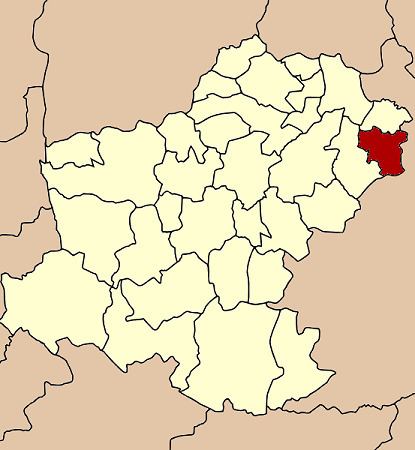
- Map of Lam Thamenchai District Nakhon Ratchasima 30270 Thailand
- History
- Geography
- Administration
- References
Map of Lam Thamenchai District, Nakhon Ratchasima 30270, Thailand
History
The area of Lam Thamenchai was separated from Chum Phuang district and made a minor district (King Amphoe) on July 15, 1996.
Following a decision of the Thai government on May 15, 2007, all of the 81 minor districts were to be upgraded to full districts. With the publishing in the Royal Gazette on August 24 the upgrade became official.
Geography
Neighboring districts are (from the east clockwise) Khu Mueang and Lam Plai Mat of Buriram Province, Chum Phuang and Mueang Yang of Nakhon Ratchasima Province.
The district is named after the Thamenchai river, which is the main river of the district.
Administration
The district is subdivided into 4 subdistricts (tambon). The township (thesaban tambon) of Nong Bua Wong covers parts of the tambon Kui and Phlai.