
Vehicle registration AS 24 Population 10,345 (2001) ISO 3166 code ISO 3166-2:IN | Time zone IST (UTC+5:30) Elevation 21 m Local time Sunday 3:30 AM | |
 | ||
Weather 21°C, Wind NE at 2 km/h, 92% Humidity | ||
Lala is a town and a town area committee in Hailakandi district in the Indian state of Assam.
Contents
Map of Lalapur, Assam 788163
Geography
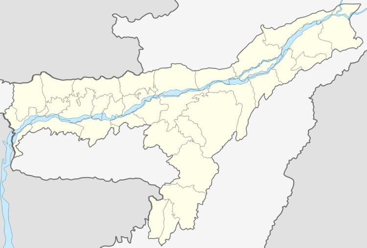
Lala is located at 24.55°N 92.6°E / 24.55; 92.6. It has an average elevation of 21 metres (69 feet).
Demographics
As of 2001 India census, Lala had a population of 10,345. Males constitute 50% of the population and females 50%. Lala has an average literacy rate of 81%, higher than the national average of 59.5%: male literacy is 84%, and female literacy is 78%. In Lala, 11% of the population is under 6 years of age.
References
Lala, Assam Wikipedia(Text) CC BY-SA