
Country Bangladesh District Comilla District Website Official Map of Laksam Local time Sunday 3:19 AM University Central Medical College | Division Chittagong Division Time zone BST (UTC+6) Area 135.6 km² Population 294,719 (2011) | |
 | ||
Weather 23°C, Wind NW at 5 km/h, 89% Humidity | ||
Laksam (Bengali: লাকসাম) is an Upazila of Comilla District in the Division of Chittagong, Bangladesh. Laksam has 7 Unions/Wards, 136 Mauzas/Mahallas, and 183 villages.
Contents
- Map of Laksam Upazila Bangladesh
- History
- Geography
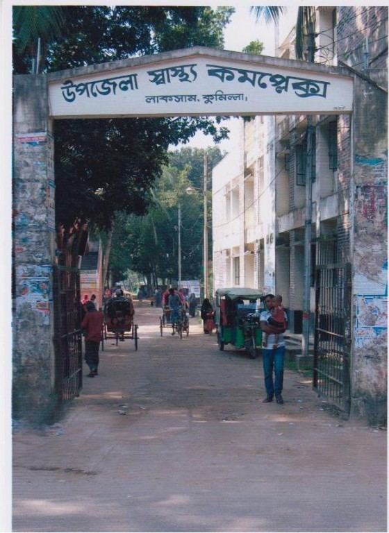
- Points of interest
- Transport
- Notable residents
- References
Map of Laksam Upazila, Bangladesh
History
Lasham was made into a Upazila in 1983. On 6 April 1971 more than 200 people at Ajgara Bazar during Bangladesh Liberation war. Pakistan army was defeated on 12 December 1971 in the Upazila. The Upazila has experience a water crises thans to arsenic in the groundwater.
Geography
Laksam Upazila with an area of 135.61 km, is bounded by Comilla Sadar and Barura upazilas on the north, chatkhil, begumganj and senbagh upazilas on the south, nangalkot and chauddagram upazilas on the east, Barura and shahrasti upazilas on the west. Main rivers are Dakatia and Little Feni.
The only river Dakatia flows through the upazila. This river comes from Tripura, India runs over the Comilla and fall on to the Meghna river near Chandpur District. The river is 207 km long.
Points of interest
Transport
Laksam Railway Junction, on the Akhaura-Laksam-Chittagong Line, Laksam-Noakhali Line and Laksam-Chandpur Line is one of the two biggest junctions of Bangladesh. From here People go to Chandpur District, Noakhali District.