
Time zone CET (UTC+1) Area 54.66 km² Population 4,411 (2015) | Postal code 6065 Local time Saturday 10:07 PM Area code 76 | |
 | ||
Weather 4°C, Wind N at 11 km/h, 63% Humidity | ||
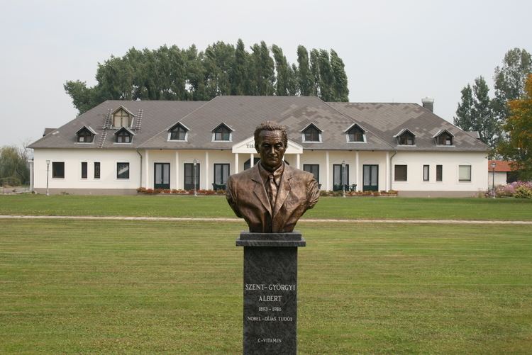
Lakitelek is a large village in Bács-Kiskun county, in the Southern Great Plain region of southern Hungary.
Contents
Map of Lakitelek, Hungary
Geography
It covers an area of 54.66 km2 (21 sq mi) and has a population of 4411 people (2015).
References
Lakitelek Wikipedia(Text) CC BY-SA