
Country United States GNIS feature ID 1658935 Founded 1834 Local time Saturday 12:19 PM | FIPS code 06-39878 Elevation 3 m Zip code 94954 Area code 707 | |
 | ||
Weather 21°C, Wind N at 13 km/h, 48% Humidity | ||
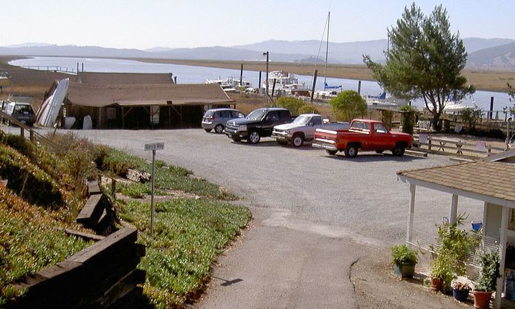
Lakeville is an unincorporated community in Sonoma County, California, United States. It is located near the Petaluma River about 4 mi (6 km) southeast of Petaluma.
Contents
Map of Lakeville, CA 94954, USA
The main thoroughfare is Lakeville Road, which passes north-south through Lakeville on its way from State Route 116 to State Route 37. The rear gate of Sonoma Raceway empties onto Lakeville Road and can cause traffic delays on race days.
Lakeville's name refers to Tolay Lake, about 2 mi (3 km) east of the town.
Lakeville has a fire department with one station, established in 1973. It is located east of the intersection of Lakeville Highway and Stage Gulch Road.
History
The Lakeville area was part of the Rancho Petaluma grant to Mariano Guadalupe Vallejo by the Governor José Figueroa of Alta California in 1834.
In 1859, an emigrant named William Bihler purchased 8,000 acres (32 km2) in the Lakeville area. In 1859 Bihler dynamited the natural dam of the historic Tolay Lake to drain the lake in order to raise potatoes and corn.
Settled by C. H. Bodwell, Lakeville became the terminus for a steamship route connecting San Francisco with Sonoma County. In the 1870s, Lakeville was a stop on the San Francisco and North Pacific Railroad.