
Surface elevation 358 feet (109 m) | Primary inflows | |
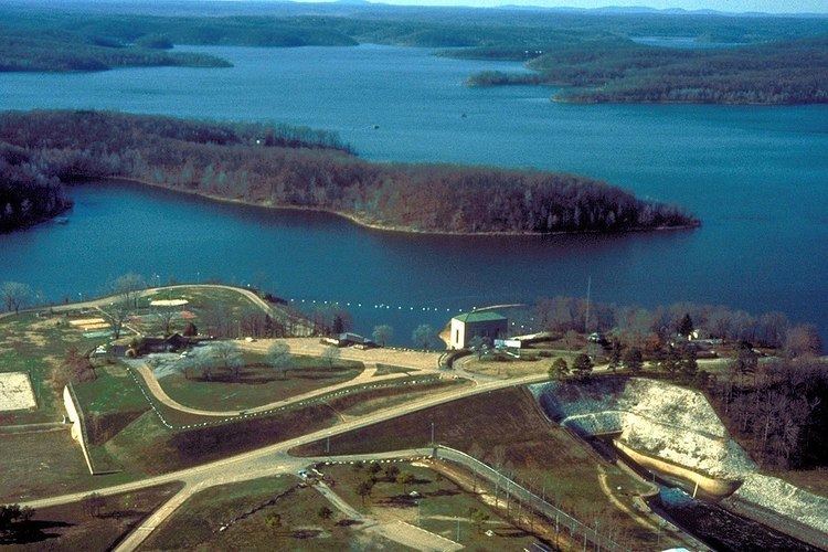 | ||
Lake Wappapello is a reservoir on the St. Francis River, formed by Wappapello Dam (36°55′55″N 90°16′45″W). Created in 1941, this 45,000-acre (180 km2) lake is located 120 miles (190 km) south of St. Louis, Missouri. Its primary purpose is flood control though it has evolved into a recreational area with ample opportunities to boat, fish, swim or camp. The fish population of the lake include white bass, largemouth bass, crappie, and bluegill. The reservoir lies overwhelmingly in Wayne County, but its southernmost reaches (near the dam) extend into northern Butler County. Lake Wappapello State Park lies on the southwestern side of the lake.
Both the dam and reservoir are owned and operated by the United States Army Corps of Engineers.
References
Lake Wappapello Wikipedia(Text) CC BY-SA