
Primary inflows | Surface elevation 230 m Inflow source Waitaki River | |
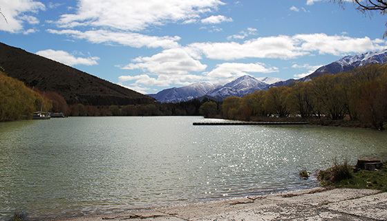 | ||
Lake Waitaki is the smallest, oldest and farthest downstream of the three man-made lakes of the Waitaki hydroelectric project in New Zealand's South Island. It lies below lakes Aviemore and Benmore on the Waitaki River, close to the town of Kurow. It is part of the traditional boundary of the Canterbury and Otago regions (although the official border has been moved southward to include the entire lake, as well as the entire northwest portion of Waitaki District within the Canterbury Region.
Map of Lake Waitaki, New Zealand
The lake is created by Waitaki Dam, a 36m high spill weir dam built between 1928 and 1934. The Waitaki power station has an installed capacity of 105MW. Waitaki was the last dam built in New Zealand with excavation done with pick and shovel, not heavy machinery. The power station is to be upgraded by Meridian Energy between 2011 and 2016 at a projected cost of $NZ 60 - 80 million.