
Area 57.87 km² | Established 1963 | |
 | ||
Similar Diamond Peak, UC Davis Tahoe Environm, Marlette Lake Water System, Lakeside Inn, Washoe Lake State Park | ||
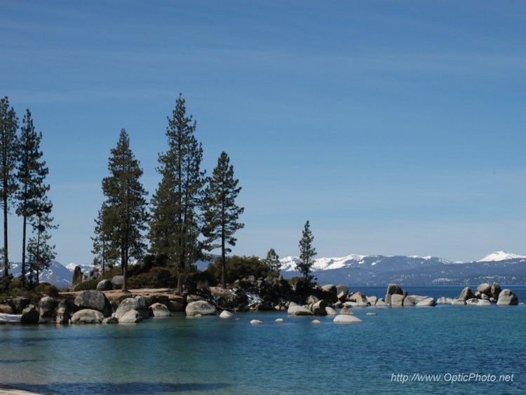
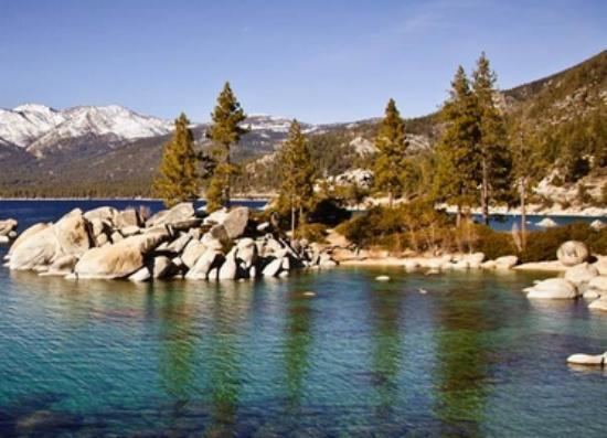
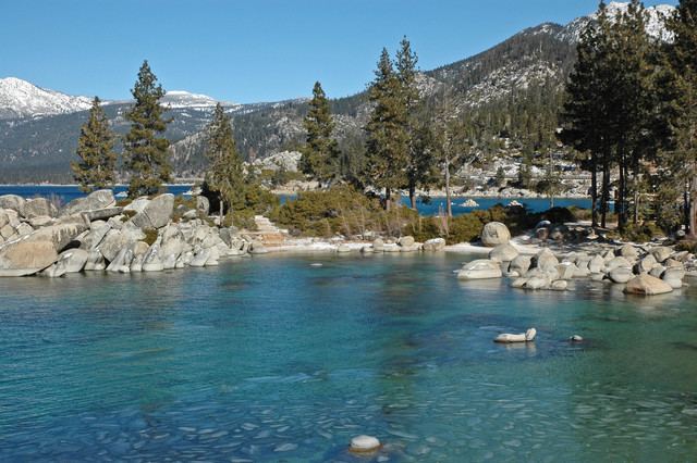
Lake Tahoe – Nevada State Park is a state park of Nevada, United States, on the northeast shores of Lake Tahoe. The park comprises six management units which total 14,301 acres (5,787 ha). The park is in the Western Nevada Region of Nevada State Parks. It includes the Marlette Lake Water System which is listed on the National Register of Historic Places and as a Historic Civil Engineering Landmark.
Contents
- Sand HarborEdit
- Spooner LakeEdit
- MarletteHobart BackcountryEdit
- Cave RockEdit
- Hidden BeachEdit
- Memorial PointEdit
- References

Sand HarborEdit
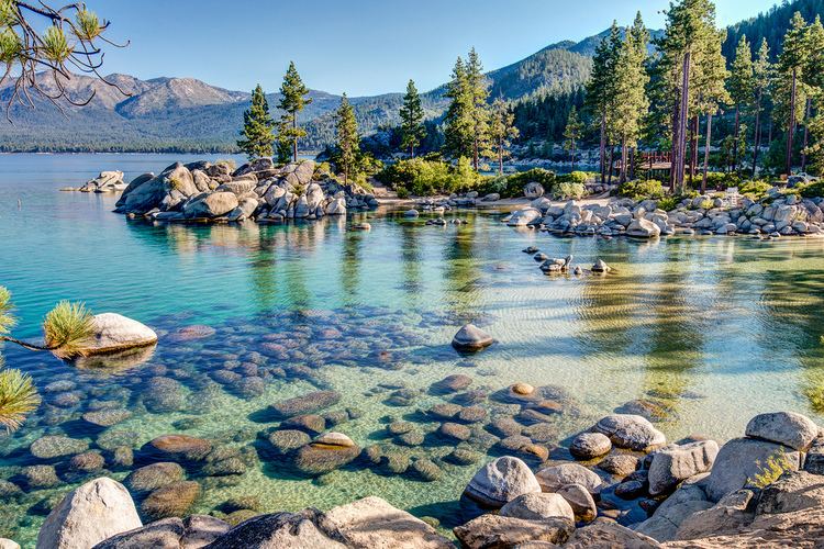
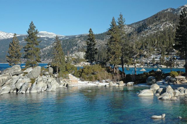
Sand Harbor features a large sandy beach on Lake Tahoe's eastern shore. It is also the location of the outdoor Lake Tahoe Shakespeare Festival. Bouldering, picnicking, the Sand Point nature trail, a boat launch and the Lake Tahoe–Nevada State Park visitor center are all located here.
Spooner LakeEdit
Spooner Lake is located near the intersection of U.S. Route 50 and State Route 28 at "Spooner Summit." Spooner Lake is popular for picnicking, fishing, and viewing wildlife and wildflowers. The site is also the primary starting point for the Marlette/Hobart Backcountry trails as well as the main vehicle entrance to both areas. Snow Valley Peak may be reached by hiking along North Canyon Creek from Spooner Lake north almost to Marlett Lake and then east to the summit.
Marlette/Hobart BackcountryEdit
Miles of hiking and biking trails cover the Marlette/Hobart Backcountry's 13,000 acres (53 km2) in the Carson Range. Among the most popular trails is the Flume Trail, which offers spectacular views of Lake Tahoe. The area also features a portion of the Tahoe Rim Trail. Marlette Lake and the Hobart Reservoir are popular destinations. These lakes were created to feed the Marlette Lake Water System during the earlier mining and logging industry of the area. Remnants of abandoned mills can still be seen in areas of the park. No vehicle access is permitted in the backcountry. Pedestrian access is gained through the Spooner Lake trail head, the Tahoe Rim Trail, and various other trails starting in Carson City and Incline Village. Two rustic cabins and several backpacking campsites provide overnight amenities.
Cave RockEdit
Cave Rock is a small day-use area along U.S. 50. The site features a boat launch, picnic areas and a small sandy beach. The site is located beneath Cave Rock and the Cave Rock Tunnel.
Hidden BeachEdit
A secluded sandy beach along Nevada State Route 28 just south of Incline Village. Hiking trails provide shore access at multiple points along the lake.
Memorial PointEdit
A roadside park along Nevada State Route 28 between Sand Harbor and Incline Village. Information kiosks provide information about cultural and natural history of Lake Tahoe. Hiking trails connect Memorial Point to Sand Harbor.