
Primary outflows none Surface area 0.5 km (0.19 sq mi) Area 50 ha Shore length 6.8 km | Max. depth 15.2 m (50 ft) Surface elevation 900 m | |
 | ||
Similar Saiko Lake, Fuji Five Lakes, Lake Yamanaka, Lake Kawaguchi, Kawaguchiko Station | ||
Driveclub japan lake shoji gameplay
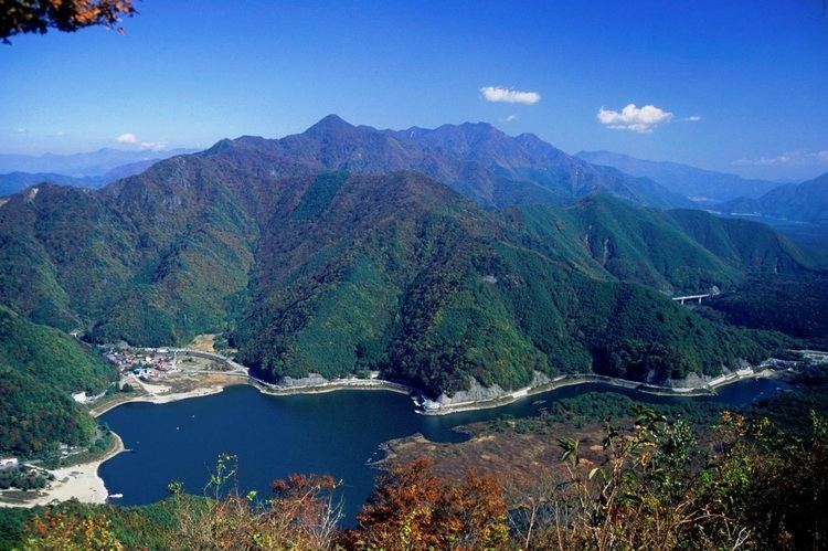
Lake Shōji (精進湖, Shōji-ko) is the one of the Fuji Five Lakes and located in southern Yamanashi Prefecture near Mount Fuji, Japan.
Contents
- Driveclub japan lake shoji gameplay
- Map of Lake ShC58Dji Shoji Fujikawaguchiko Minamitsuru District Yamanashi Prefecture 401 0336 Japan
- References
Map of Lake Sh%C5%8Dji, Shoji, Fujikawaguchiko, Minamitsuru District, Yamanashi Prefecture 401-0336, Japan
It is the smallest of the Fuji Five Lakes in terms of surface area, and third deepest, with a maximum water depth of 15.2 metres (50 ft). Its surface elevation of 900 metres (3,000 ft) is the same as for Lake Motosu and Lake Sai, confirming that these three lakes were originally a single lake, which was divided by an enormous lava flow from Mount Fuji during an eruption from 864-868 AD. The remnants of the lava flow are now under the Aokigahara Jukai Forest, and there is evidence to indicate that these three lakes remain connected by underground waterways.
The lake is within the borders of the Fuji-Hakone-Izu National Park.
As with the other Fuji Five Lakes, the area is a popular resort, with many lakeside hotels, windsurfing facilities, camp sites, and excursion boats. Japanese crucian carp and wakasagi were introduced to the lake in the Meiji period, and sports fishing is also popular. The water of the lake lacks transparency and has a tendency towards a greenish hue due to algae.