
Basin countries United States | Surface area 100 acres (40 ha) | |
 | ||
Primary inflows | ||
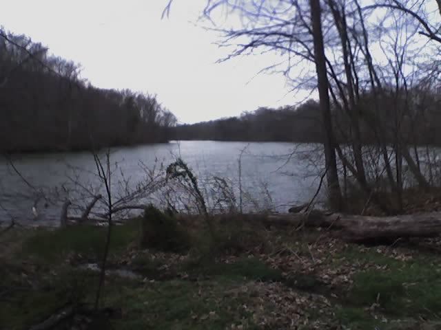
Lake Roland is a 100-acre (0.40 km2) defunct reservoir in Baltimore County, Maryland. It was named for Roland Run, a nearby stream-bed that feeds the lake and eventually flows into the Jones Falls. It runs southeast through the city center to the Northwest Branch of the Patapsco River and the Baltimore Harbor. It served as the first municipal water supply for the City of Baltimore in 1861. The dam and Greek Revival style pumping building on the eastern shore were constructed around 1860, but were abandoned in 1915 because of silting problems. It is located just north outside of the city limits. It has been owned and managed by the city since its purchase of the land and the company assets from the privately owned Baltimore Water Company (founded 1805) in 1854. The purchase followed a political controversy regarding the failure of the company to extend new water lines into surrounding out-lying areas of the city. The city had added territory in its last annexation in 1818.
The lake is contained within the bounds of Lake Roland Park, which was established in the 1920s and supervised by the newly organized Baltimore City Department of Parks and Recreation. The lake is an artificial impoundment created by a dam on the Jones Falls and two smaller streams: Towson Run and Roland Run. The lake supports wildlife including Canada geese, largemouth bass, and common carp.
Since 1986, elevated levels of chlordane in the flesh of the lake's fish have resulted in the issuance of a fish consumption advisory and the classification of the lake as a water-quality impaired segment.
Some of the wealthiest and most desirable communities in the Baltimore area adjoin the park. The L'Hirondelle Club was founded by wealthy members of the local community for rowing on the lake. It is bounded in Baltimore County by Ruxton to the north, Woodbrook to the east, and north Roland Park-Poplar Hill to the south. Further to the south are the wealthy city neighborhoods of Roland Park, Homeland, and Guilford, all laid out by the Roland Park Company under the inspiration of the famous landscaping architect Frederick Law Olmsted in the 1890s, and 1910s. They were built as country houses for the social elite of Baltimore around the start of the 20th century due to the attractive setting. They were designed in the then popular Georgian, Tudor revival, and Chateau styles.
The park is also bounded in the west by the community of Bare Hills, one of the oldest African-American settlements in the area.
To the west and southwest of the lake is the railroad track remains of the Greenspring Branch and the station/junction known as "Relay House", also for the old Northern Central Railroad, formerly the Baltimore and Susquehanna Railroad (not to be confused with a more famous "Relay" in the southwest of the city for the Baltimore and Ohio Railroad between its Washington Branch to the south and the Main Line going west to Harpers Ferry and Ohio).
The Central Light Rail Line of the Maryland Transit Administration and state Department of Transportation which runs from Cromwell Station near Glen Burnie in Anne Arundel County to the south, through the city, to Hunt Valley and Timonium Industrial Park in Baltimore County in the north since the early 1990s, runs along a track embankment and plate girder bridge through the middle of the lakes lower portion above the dam.
The lake is part of the Lake Roland Historic District.