Type supertrophic Max. depth 17.6 m (58 ft) Area 12 ha | Primary outflows seepage Surface area 12.18 ha (30.1 acres) Surface elevation 46 m Catchment area 122 ha | |
 | ||
Location Otorohanga District, Waikato Region, North Island | ||
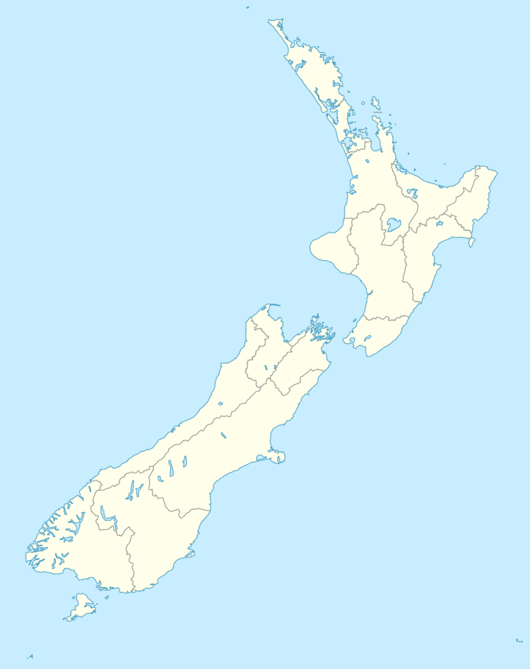
Lake Parangi is a small supertrophic (i.e. saturated in phosphorus and nitrogen, with excessive phytoplankton growth after a few weeks of calm, sunny weather), dune-dammed lake 3 km north of Kawhia in the Waikato region of New Zealand.
Contents
Map of Lake Parangi, Kawhia 3889, New Zealand
Biota
Lake Parangi has freshwater mussels, eels, pondweed Potamogeton ochreatus and watermilfoil Myriophyllum triphyllum. Catfish have been introduced and water quality is deteriorating. Canadian Waterweed has invaded much of the lake.
References
Lake Parangi Wikipedia(Text) CC BY-SA
